Wind Forces and Geostrophic Wind
The geostrophic wind is the theoretical wind that blows parallel to straight, evenly spaced isobars when the pressure gradient force is exactly balanced by the Coriolis force. Above the friction layer and away from the equator it is a close approximation to the real wind.
Wind is air moving from where the pressure is higher towards where it is lower, but it never takes the direct route. The rotation of the Earth turns it aside until, a few thousand feet up, it blows almost along the isobars rather than across them. Near the ground friction slows it and turns it back towards the low. The balance between these three influences, the pressure gradient force, the Coriolis force and friction, explains the wind a pilot meets at every level.
The subject underpins much of meteorology and navigation: reading wind from a pressure chart, working out where a depression lies from the drift, predicting how the wind changes during a climb or descent, and understanding why upper winds are westerly. It is a staple of EASA PPL, CPL and ATPL theory and of the FAA knowledge tests.
Pressure gradient force
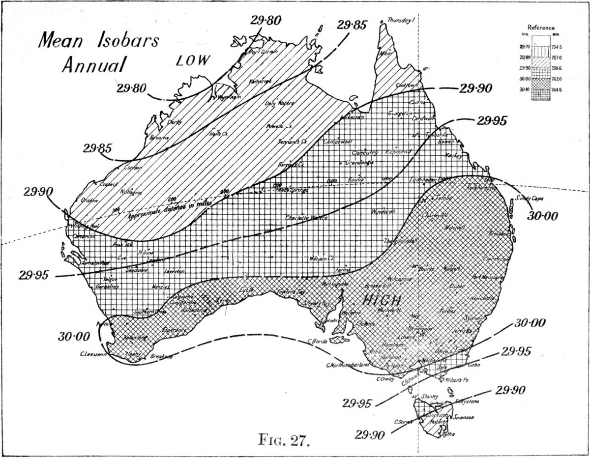
The pressure gradient is the change of pressure over a given horizontal distance. On a surface chart it is shown by the spacing of the isobars, normally drawn every 2 hPa and every 4 hPa or more on charts of larger areas; US surface analyses use 4 hPa. Close isobars mean a steep gradient, widely spaced isobars a slack one.
The pressure gradient force (PGF) is the force the gradient exerts on the air. It acts at right angles to the isobars, directly from high towards low pressure, and its strength is proportional to the gradient. Acting alone it would drive air straight into every low and quickly fill it.
On upper-air charts, which show constant-pressure surfaces, the same role is played by contours (isohypses), lines of equal height of the pressure surface. Closely spaced contours mean a strong gradient aloft, and the wind blows along them just as the wind above the friction layer blows along the isobars of a surface chart.
Coriolis force and the hemispheres
The Coriolis force is an apparent force that arises because winds are measured against a rotating Earth. It acts at right angles to the direction of motion: to the right in the northern hemisphere (NH) and to the left in the southern hemisphere (SH). Because it acts at right angles, it changes the direction of the wind but not its speed.
Its size is given by 2Ωρv sin φ, where Ω is the Earth's rate of rotation, ρ the air density, v the wind speed and φ the latitude. The Coriolis force is therefore:
- proportional to wind speed, so it is zero for still air and grows as the air accelerates;
- proportional to the sine of the latitude, so it is greatest at the poles and zero at the equator.
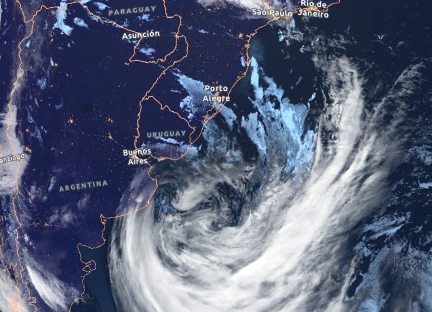
Air starting to move towards a low is progressively turned aside. The result is the familiar circulation: anticlockwise around a depression and clockwise around an anticyclone in the northern hemisphere, and the reverse in the southern.
The geostrophic wind
When the Coriolis force has grown until it exactly balances the pressure gradient force, the two act in opposite directions across the isobars and the air flows parallel to them. This is the geostrophic wind. It is strictly valid only when:
- the isobars are straight and parallel;
- the air is above the friction layer, roughly 2,000 to 3,000 ft above the surface;
- the latitude is more than about 15°;
- the pressure pattern is not changing rapidly, so the air is not accelerating.
Setting the two forces equal gives the geostrophic speed: V = PGF ÷ (2Ωρ sin φ). Three consequences are examined again and again:
- Isobar spacing. The speed is proportional to the gradient. Halve the spacing between the isobars and the wind doubles.
- Latitude. For the same spacing the speed is inversely proportional to sin φ. The same gradient gives a weaker wind at high latitude than at low latitude; at 30° it gives twice the geostrophic wind it would give at the pole.
- Density. The speed is inversely proportional to density. At about 20,000 ft, where density is roughly half its sea-level value, the same pressure gradient gives about twice the wind.
A geostrophic wind scale turns this into a quick measurement. The distance between two adjacent isobars, measured at right angles to them, is laid against the scale at the latitude concerned, and the geostrophic speed is read off.
Exam tip: For the same isobar spacing, the geostrophic wind decreases as latitude increases, because the Coriolis force needed to balance a given gradient is produced at a lower speed.
Gradient wind and curved isobars
Real isobars are often curved around lows and highs. To follow a curved path the air needs a net force towards the centre of curvature, the centripetal force, so the pressure gradient and Coriolis forces can no longer be equal. The wind that blows along curved isobars with this imbalance is the gradient wind.
| Pressure system | Forces | Gradient wind compared with geostrophic (same spacing) | Geostrophic wind scale |
|---|---|---|---|
| Depression (cyclonic curvature) | PGF exceeds Coriolis; the excess turns the air inwards | Slower (sub-geostrophic) | Over-reads |
| Anticyclone (anticyclonic curvature) | Coriolis exceeds PGF; the excess turns the air inwards | Faster (super-geostrophic) | Under-reads |
In the older textbook description the same result is expressed with a centrifugal force acting outwards: around a low it opposes the pressure gradient force and reduces the wind, and around a high it acts with it and increases the wind. Either way, the gradient wind is the better estimate of the wind above the friction layer wherever the isobars are curved.
Anticyclones nonetheless usually have light winds, because their isobars are much more widely spaced than those of a depression.
Winds near the equator
Because the Coriolis force varies with the sine of the latitude, it becomes very small in the tropics. Within about 15° of the equator the geostrophic relationship no longer describes the wind, and within about 5° the Coriolis force is essentially zero. Where it is negligible, the pressure gradient force is balanced only by the acceleration of the air, and the wind blows much more directly from high towards low pressure. EASA training texts call this the Euler wind.
Two consequences appear in exams. Tropical revolving storms do not form within about 5° of the equator, because there is too little Coriolis force to start the rotation. And air that crosses the equator has its deflection reversed: the south-east trade wind of the southern hemisphere, crossing into the northern hemisphere in the northern summer, is turned to the right and becomes the south-west monsoon of southern Asia.
Buys Ballot's law
The relationship between wind and pressure is summed up by Buys Ballot's law: with your back to the wind in the northern hemisphere, low pressure lies on your left; in the southern hemisphere it lies on your right.
The law lets a pilot locate a depression from the drift. In the northern hemisphere, starboard (right) drift means the wind is coming from the left of the aircraft, so the low lies ahead. Port drift puts it behind. This matters for altimetry. An aircraft flying towards lower pressure at a constant indicated altitude, with the subscale unchanged, is descending in reality, and its altimeter over-reads.
At upper levels the law extends to the thermal structure. On a constant-pressure chart in the northern hemisphere, with your back to the wind, low pressure, low height of the pressure surface and low temperature all lie on your left.
Exam tip: Northern hemisphere, right drift: low pressure ahead, true altitude falling, "high to low, beware below". In the southern hemisphere every left and right is reversed.

Friction layer effects
The friction layer, or boundary layer, extends from the surface to about 2,000 to 3,000 ft. It is deeper over rough ground, in strong winds and in unstable air, and shallower over the sea and on clear, calm nights.
Friction slows the wind. A slower wind produces less Coriolis force, so the pressure gradient force wins and the wind turns across the isobars towards low pressure. In the northern hemisphere this means the surface wind is backed relative to the geostrophic or gradient wind; in the southern hemisphere it is veered. EASA training texts use these rules of thumb:
| Surface | Change of direction (NH / SH) | Surface speed as a share of the 2,000 ft wind |
|---|---|---|
| Over land | Backed about 30° / veered about 30° | About 50 % |
| Over the sea | Backed about 10° / veered about 10° | About 70 % |
FAA material describes the same effect but quotes crossing angles of about 30° to 45°. The practical point is identical: the wind at circuit height is stronger than the surface wind and, in the northern hemisphere, veered from it.
The cross-isobar flow near the ground has a large-scale effect too. Air spirals into a depression and must rise, producing cloud and precipitation; it spirals out of an anticyclone and is replaced by subsiding air, which warms, dries and often forms an inversion. The daily cycle of the wind near the ground is covered in surface wind.
Veering and backing
A veer is a clockwise change in wind direction, for example from 180° to 240°, a veer of 60°. A back is an anticlockwise change. The terms mean the same in both hemispheres; only the circumstances that produce them differ.
- With height. In the northern hemisphere, climbing out of the friction layer the wind veers and increases; descending to land it backs and decreases. In the southern hemisphere it backs and increases in the climb.
- With time. In the northern hemisphere the wind veers as each front of a depression passes, because the isobars are kinked at the front. In the southern hemisphere a cold front brings a back, as in the Sydney southerly buster (see local winds).
- With reference. METAR and TAF directions are in degrees true; the wind given by ATIS and the tower is magnetic. A difference between the two is not a veer or a back.
Thermal wind and upper winds
Pressure falls with height faster in cold air than in warm air. Where there is a horizontal temperature gradient, the pressure surfaces therefore slope more steeply with height, the pressure gradient increases, and the wind changes with height. The thermal wind is the vector difference between the wind at the top and at the bottom of a layer. It blows along the lines of equal mean temperature of the layer, with the cold air on its left in the northern hemisphere and on its right in the southern hemisphere, and its strength is proportional to the temperature gradient.
A wind change with height therefore reveals the temperature advection in a layer. In the northern hemisphere, a wind that veers with height means warm air is being advected; a wind that backs with height means cold advection.
Since the tropics are warm and the poles cold, the thermal wind is westerly in both hemispheres, and so are the upper winds in the middle and upper troposphere. They strengthen up to the tropopause, helped by the fall in density, and weaken above it. Where the temperature contrast is squeezed into a narrow zone, such as the polar front, the wind maximum is squeezed too and becomes a jet stream. Forecast upper winds are shown on constant-pressure charts, where the wind blows along the contours and lines of equal speed, isotachs, mark the strongest flow (see surface and upper-air charts).
Note: The term geostrophic wind describes a balance, not a measurement. Real winds depart from it near the ground, near the equator, around curved isobars and wherever the pressure pattern is changing quickly, which is why forecasts, not chart geometry, are used for flight planning.
Frequently asked questions
What is the geostrophic wind?
The geostrophic wind is the wind that results when the pressure gradient force, acting from high to low pressure, is exactly balanced by the Coriolis force acting in the opposite direction. It blows parallel to straight isobars at a speed proportional to the pressure gradient. It applies above the friction layer, at latitudes above about 15 degrees, where the isobars are straight and the pressure pattern is not changing quickly.
Why does the wind blow parallel to the isobars instead of from high to low pressure?
The pressure gradient force starts the air moving towards low pressure, but as soon as it moves the Coriolis force, caused by the Earth's rotation, turns it to the right in the northern hemisphere and to the left in the southern. The air keeps turning until the Coriolis force exactly opposes the pressure gradient force, and it then flows along the isobars. Near the ground friction upsets the balance and the wind cuts across them towards the low.
What is Buys Ballot's law?
Buys Ballot's law says that if you stand with your back to the wind in the northern hemisphere, low pressure is on your left and high pressure on your right. In the southern hemisphere low pressure is on your right. Pilots use it to locate a depression from their drift. In the northern hemisphere starboard drift means the low is ahead, so the aircraft is flying towards lower pressure and its altimeter will over-read.
What is the difference between the geostrophic wind and the gradient wind?
The geostrophic wind assumes straight isobars. Where the isobars curve, the air needs a net inward force to follow them, so the pressure gradient and Coriolis forces no longer balance exactly, and the resulting wind is called the gradient wind. Around a depression it is slower than the geostrophic wind for the same isobar spacing; around an anticyclone it is faster. The geostrophic wind scale therefore over-reads in a low and under-reads in a high.
Why is the wind stronger at altitude than at the surface?
There are three reasons. Friction slows the wind in the lowest 2,000 to 3,000 ft. For the same pressure gradient the geostrophic wind is inversely proportional to air density, and at about 20,000 ft density is roughly half its sea-level value. Finally, the temperature contrast between the warm tropics and the cold poles makes the pressure gradient itself increase with height, which is why upper winds are westerly and strengthen up to the tropopause.
Test yourself on Wind Forces and Geostrophic Wind
The v1prep banks cover this topic in Meteorology (050), with a worked explanation for every answer. EASA ATPL, PPL, IR and CPL, the FAA written tests and A320/B737 type ratings.
Start practising →Sources and further reading
Library articles are written for study and exam preparation. They do not replace your aircraft's approved documentation, your operator's procedures or the regulations themselves.